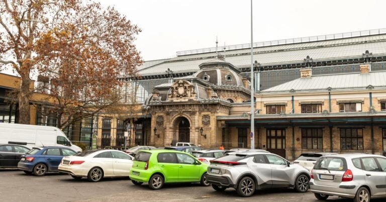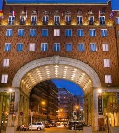
The renovation of a park, a municipal building, or even a section of a street is transforming Erzsébetváros in various ways. From now on, these projects can be viewed on a single page on the district’s website.
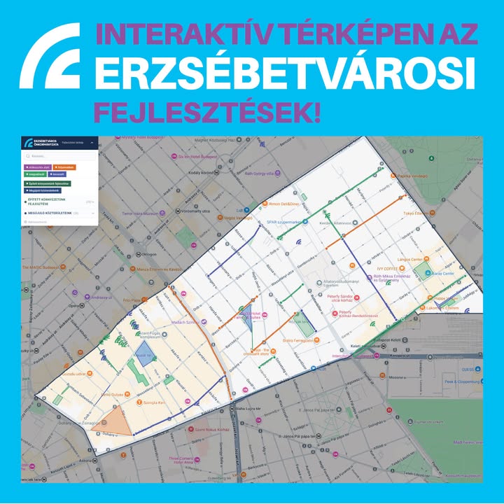
The interactive map shows development projects at various stages: those that have already been completed, those still in progress, and planned renovations. Key information about each location has also been compiled.
## Streets, parks and buildings in one place
The map brings together various district-level projects. In addition to municipal buildings, it also includes parks and street sections, allowing district residents to see in one place what projects have been completed or are in the planning stages in their neighborhood.
On October 9, Mayor Péter Niedermüller wrote that the development of Erzsébetváros needs tidy streets, quality public spaces, safe sidewalks and more green space. According to him, the large investments of the coming period will include some that are “for the next 20–25 years”.
The development map can be browsed under the Fejlesztések (Developments) menu of the Erzsébetváros website.
Source: Péter Niedermüller